New20

$159,000
3 bd · 1 ba · 1,020 sqft
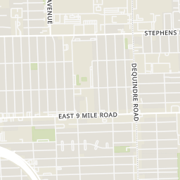
831 E Guthrie Avenue, Madison Heights, MI
on 2 MLSs

No listing photos
—
Beds
—
Baths
504
Sqft
1961
Year built
2025 roll
MiRealSourceSome properties which appear for sale on this web site may subsequently have sold or may no longer be available.
New20$159,000
3 bd · 1 ba · 1,020 sqft
831 E Guthrie Avenue, Madison Heights, MI
on 2 MLSs
 New11
$159,995
2 bd · 1 ba · 890 sqft
26323 Brettonwoods Street, Madison Heights, MI
on 2 MLSs
 New47
$325,000
3 bd · 2 ba · 2,065 sqft
31608 Meadows Avenue, Madison Heights, MI
on 2 MLSs
 31
$230,000
3 bd · 1 ba · 1,484 sqft
1579 Dulong Avenue, Madison Heights, MI
Stephan Naamo · Community Choice Realty Inc · on 2 MLSs
 New3
$289,999
3 bd · 2 ba · 2,064 sqft
28793 Groveland Street, Madison Heights, MI
on 2 MLSs
 29
$174,900
2 bd · 1 ba · 1,010 sqft
28785 Delton Street, Madison Heights, MI
on 2 MLSs
School ratings (A+ to F) from HJN community data.
Wilkinson Middle School
6-8 · Regular · Madison Public Schools
168 students · 15.7:1 student–teacher
Madison District Early Childhood Education Center
PK-KG · Regular · Madison Public Schools
64 students · 6.5:1 student–teacher
Madison High School
9-12 · Regular · Madison Public Schools
255 students · 17.1:1 student–teacher
Oakland Elementary School
KG-5 · Regular · Royal Oak City School District
242 students · 11.5:1 student–teacher
Madison Preparatory High School
PK-PK · Alternative/Other · Madison Public Schools
5 students · 6.3:1 student–teacher
Keys Grace Academy
KG-12 · Regular · Keys Grace Academy
530 students · 18.6:1 student–teacher
Madison Elementary School
KG-5 · Regular · Madison Public Schools
411 students · 15.6:1 student–teacher
Four Corners Montessori Academy
PK-8 · Regular · Four Corners Montessori Academy
235 students · 15.7:1 student–teacher
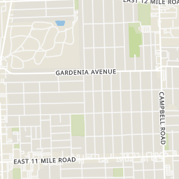
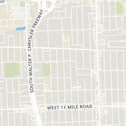
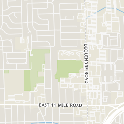
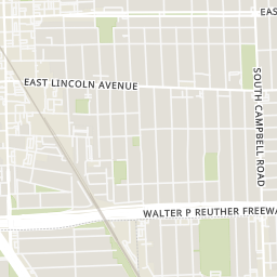
Rings at ½ mile and 1 mile. Basemap © OpenMapTiles © OpenStreetMap contributors.
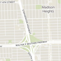
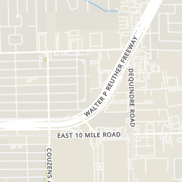
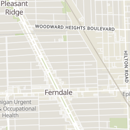
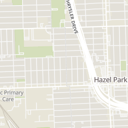
2 license-plate readers mapped within 1 mile of this home, both identified as Flock Safety devices. None within ½ mile. Nearest: 0.8 mi northwest. Operators named in the data: Hazel Park Police Department and Royal Oak Police Department.
| Device type | Within ½ mi | Within 1 mi |
|---|---|---|
| License-plate readers | 0 | 2 |
| of which Flock Safety | 0 | 2 |
Community-reported via OpenStreetMap; may be incomplete. Data as of . © OpenStreetMap contributors (ODbL)
License-plate readers (ALPR) are fixed cameras that photograph passing vehicles and read their plates. Records are typically shared with the agency or association that operates the camera.
Flock Safety is a company whose plate-reader cameras are used by police departments, cities, HOAs and businesses. Its devices are usually solar-powered and pole-mounted.
Within 2 miles of this home: 38+ restaurants and cafés, 8 grocery stores, 40+ parks and green spaces, and 38+ transit stops.
Place data from OpenStreetMap.
The Telway
John R Road
Biggby Coffee
West 11 Mile Road
Happy's Pizza
Woodpile BBQ
American restaurant · East 11 Mile Road
JJ's Custard Company
East 11 Mile Road
Tim Hortons
East 11 Mile Road
Royal Coney Express
East 11 Mile Road
Tubby's
East 11 Mile Road
Save-A-Lot
Hazel Park Food Center
John R Road
Fresh Approach
South Campbell Road
Kroger
East 12 Mile Road
Kim Nhung Superfood
John R Road
Hollywood Market
Campbell Road
Royal Oak Farmers Market
East 11 Mile Road
Holiday Market
South Main Street
Huffman Park
West Cowan Avenue
Wildwood Park
Delton Street
Monroe Park
West Dallas Avenue
Maddock Park
Exchange Park
East Farnum Avenue
Madison Woods
East Farnum Avenue
Edison Park
Hampden Street
Rosie's Park
East Farnum Avenue
John R / Cowan (SB)
John R / Cowan (NB)
John R / Andover (NB)
John R / Lincoln (NB)
John R / Andover NS (SB)
John R / Lincoln (SB)
John R / Hudson (NB)
John R / Hudson (SB)