37

$669,000
3 bd · 2 ba · 1,541 sqft
4800 SW 120th Ave, Cooper City, FL
Magali Prieto · Winsome Realty


No listing photos
4
Beds
2
Baths
3,130
Sqft
1993
Year built
Range $428,000 – $623,000 · as of April 1, 2020
ATTOM automated valuation model · 4 published estimates over 0.2 years · shaded band is the model's own published low-to-high range
Highest reading $559,000 in February 2020; lowest $418,000 in January 2020. The vertical scale starts at the series' own low, not at zero — it is drawn to show movement, not absolute size.
$105,000
Estimated monthly payment
$3,506/mo
Loan amount $420,000. Estimate only — your actual rate and payment depend on credit, location, and lender.
2026 roll
MIAMI REALTORS MLSSome properties which appear for sale on this web site may subsequently have sold or may no longer be available.
School ratings (A+ to F) from HJN community data.
Divine Academy
4-12 · Special Education
56 students · 4.7:1 student–teacher
Silver Palms Elementary School
KG-5 · Regular · Broward County School District
450 students · 15.5:1 student–teacher
Charles W. Flanagan High School
9-12 · Regular · Broward County School District
2,199 students · 22.7:1 student–teacher
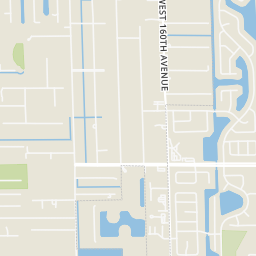
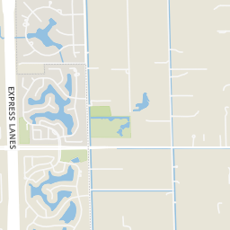
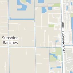
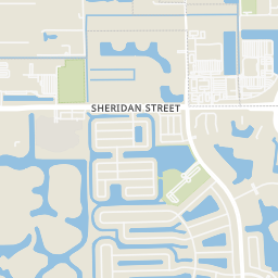
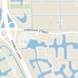
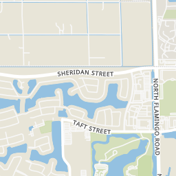
Within 2 miles of this home: 14 restaurants and cafés, 1 grocery store, 11 parks and green spaces, and 14 transit stops.
Place data from OpenStreetMap.
Cracker Barrel
American restaurant · NW 150th Avenue
TGIF
Havana Restaurant
PIOLA WESTON
Sheridan Street
Subway
Sheridan Street
McDonald's
Sheridan Street
Romeu's Cuban Restaurant
Starbucks
Sheridan Street
Publix
Sheridan Street
Falcon Lea Park
Sunshine Ranches Equestrian Park
Waterford Park
Waverly Park
Flamingo West Park
S Flamingo Road
Country Glen Community Park
William B Armstrong Dream Park
Lake Olson
Sheridan Street/Northwest 146th Avenue
Sheridan Street/Northwest 148th Avenue
Sheridan Street/Northwest 136th Avenue
Sheridan Street/Northwest 160th Avenue - (Dykes Road)
Southwest 160th Avenue/Sheridan Street
Southwest 160th Avenue/Stirling Road
Sheridan Street/Flamingo Road
Flamingo Road/Sheridan Street (South)
Rings at ½ mile and 1 mile. Basemap © OpenMapTiles © OpenStreetMap contributors.
Open the Southwest Ranches camera map2 license-plate readers mapped within 1 mile of this home, one of them identified as a Flock Safety device. None within ½ mile. Nearest: 0.6 mi southwest.
| Device type | Within ½ mi | Within 1 mi |
|---|---|---|
| License-plate readers | 0 | 2 |
| of which Flock Safety | 0 | 1 |
Community-reported via OpenStreetMap; may be incomplete. Data as of . © OpenStreetMap contributors (ODbL)
License-plate readers (ALPR) are fixed cameras that photograph passing vehicles and read their plates. Records are typically shared with the agency or association that operates the camera.
Flock Safety is a company whose plate-reader cameras are used by police departments, cities, HOAs and businesses. Its devices are usually solar-powered and pole-mounted.