Price Reduced35
$375,000
2 bd · 2 ba · 950 sqft


No listing photos
3
Beds
1
Baths
1,317
Sqft
1820
Year built
Range $261,860 – $418,626 · as of August 30, 2026
ATTOM automated valuation model · 54 published estimates over 6.7 years · shaded band is the model's own published low-to-high range
Highest reading $373,450 in April 2026; lowest $209,561 in April 2020. The vertical scale starts at the series' own low, not at zero — it is drawn to show movement, not absolute size.
$68,049
Estimated monthly payment
$2,284/mo
Loan amount $272,194. Estimate only — your actual rate and payment depend on credit, location, and lender.
2026 roll
2697 Cranberry Hwy #12, Wareham, MA
Marlene D. Jones · eXp Realty LLC
School ratings (A+ to F) from HJN community data.
Minot Forest Elementary
3-4 · Regular · Wareham School District
912 students · 12.8:1 student–teacher
Christopher Donovan Day School- Inc
12-12 · Special Education
1 students · 0.5:1 student–teacher
Wareham Cooperative Alternative School
9-12 · Regular · Wareham School District
39 students · 14.2:1 student–teacher
Within 2 miles of this home: 7 restaurants and cafés, 1 grocery store, 26+ parks and green spaces, and 6 transit stops.
Place data from OpenStreetMap.
Santoros Pizza & Subs
China Chef
Chinese restaurant
Chili's
Cranberry Highway
Subway
Cranberry Highway
McDonald's
Cranberry Highway
The Deli at Onset Bay
Onset Avenue
Marc Anthony's La Pizzeria
Wareham High School
9-12 · Regular · Wareham School District
533 students · 8.6:1 student–teacher
Stop & Shop
Cranberry Highway
Agawam Mill Pond Access
Conservation Land
Union Pond
Wareham Dog Park
Maple Springs Road
Beaver Dam Wetlands
Mill Pond
Minot Forest
Spectacle Pond
Cranberry Plaza
Agawam Village
Onset Village/Onset Center
Onset Pier
Wareham Center
Wareham

Some properties which appear for sale on this web site may subsequently have sold or may no longer be available.
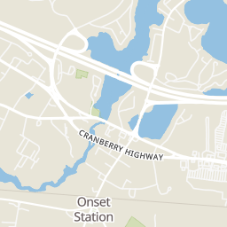
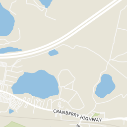
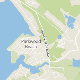
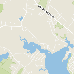
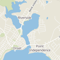
MLS Property Information Network (MLS PIN)Rings at ½ mile and 1 mile. Basemap © OpenMapTiles © OpenStreetMap contributors.
Open the Wareham camera map2 license-plate readers mapped within 1 mile of this home, both identified as Flock Safety devices. None within ½ mile. Nearest: 0.7 mi east. Operator named in the data: The Home Depot.
| Device type | Within ½ mi | Within 1 mi |
|---|---|---|
| License-plate readers | 0 | 2 |
| of which Flock Safety | 0 | 2 |
Community-reported via OpenStreetMap; may be incomplete. Data as of . © OpenStreetMap contributors (ODbL)
License-plate readers (ALPR) are fixed cameras that photograph passing vehicles and read their plates. Records are typically shared with the agency or association that operates the camera.
Flock Safety is a company whose plate-reader cameras are used by police departments, cities, HOAs and businesses. Its devices are usually solar-powered and pole-mounted.