 37
$975,000
4 bd · 3 ba · 3,226 sqft
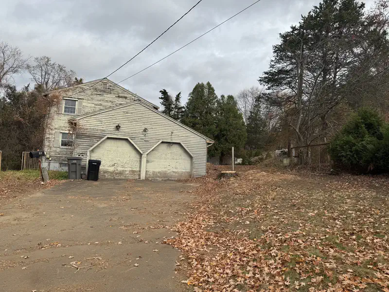
616 Grove, Framingham, MA
Raquel Fernandes Faria · eXp Realty LLC - Corporate Office


No listing photos
—
Beds
1
Baths
1,270
Sqft
1900
Year built
2026 roll
School ratings (A+ to F) from HJN community data.
Summit Montessori School
PK-6 · Montessori
52 students · 5.2:1 student–teacher
St Bridget School
PK-8 · Regular
207 students · 10.3:1 student–teacher
The Learning Center for the Deaf
PK-12 · Special Education
189 students · 3.8:1 student–teacher
Brophy
KG-5 · Regular · Framingham School District
504 students · 12.0:1 student–teacher
Wayside Academy
7-12 · Special Education
22 students · 3.7:1 student–teacher
Fuller Middle School
6-8 · Regular · Framingham School District
592 students · 8.6:1 student–teacher
Miriam F Mccarthy School
PK-5 · Regular · Framingham School District
490 students · 10.8:1 student–teacher
Barbieri Elementary School
KG-5 · Regular · Framingham School District
671 students · 13.2:1 student–teacher
Within 2 miles of this home: 33 restaurants and cafés, 4 grocery stores, 32+ parks and green spaces, and 17 transit stops.
Place data from OpenStreetMap.
Papa Gino's
Worcester Road
Dunkin' Donuts
Worcester Road
IHOP
Edgell Road
McDonald's
Worcester Road
Coreanos
Worcester Road
Rasoi Indian Cuisine
Indian restaurant · Worcester Road
House of Pho
Vietnamese restaurant · Worcester Road
Ninety Nine Restaurant & Pub
American restaurant · Worcester Road
Stop & Shop
Temple Street
Dubom Supermarket
Worcester Road
Trader Joe's
Worcester Road
Whole Foods Market
Worcester Road
Victory Recreation Fields
Mason Park
Temple Street Playground
Pike-Haven-Foster Environs
Westgate Development
Stearns Reservoir
Bowditch Field
Lamphere Circle Retention
Vernon St & Pleasant St
High St
Framingham State University
Framingham Center
Stop and Shop
MetroWest Medical Center
Halstead Framingham
MassBay Community College
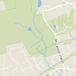
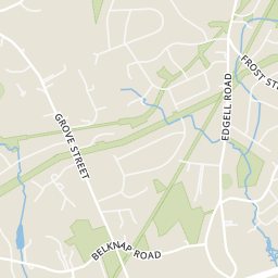
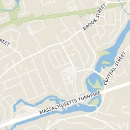
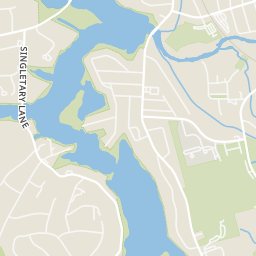
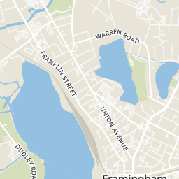
Rings at ½ mile and 1 mile. Basemap © OpenMapTiles © OpenStreetMap contributors.
Open the Framingham camera map3 CCTV cameras mapped within ½ mile of this home. Nearest: 0.1 mi northwest. Operator named in the data: Police (Framingham).
| Device type | Within ½ mi | Within 1 mi |
|---|---|---|
| License-plate readers | 0 | 2 |
| CCTV cameras | 3 | 8 |
Community-reported via OpenStreetMap; may be incomplete. Data as of . © OpenStreetMap contributors (ODbL)
License-plate readers (ALPR) are fixed cameras that photograph passing vehicles and read their plates. Records are typically shared with the agency or association that operates the camera.
CCTV cameras are fixed video cameras that record a street, building or other area.
Some properties which appear for sale on this web site may subsequently have sold or may no longer be available.
 MLS Property Information Network (MLS PIN)