New28

$669,900
3 bd · 4 ba · 3,276 sqft
11 Kingston St, New Bedford, MA
Melanie Reis-Costa · Bold Real Estate Inc.


No listing photos
3
Beds
2.5
Baths
1,479
Sqft
1950
Year built
2025 roll
MLS Property Information Network (MLS PIN)Some properties which appear for sale on this web site may subsequently have sold or may no longer be available.
New28$669,900
3 bd · 4 ba · 3,276 sqft
11 Kingston St, New Bedford, MA
Melanie Reis-Costa · Bold Real Estate Inc.
 Price Reduced19
$450,000
4 bd · 2 ba · 1,202 sqft
240 Irvington, New Bedford, MA
Marie E. Cashman · eXp Realty LLC
 13
$369,900
4 bd · 1 ba · 1,336 sqft
215 Clifford St, New Bedford, MA
Bob DeVito · Cameron Real Estate Group
 Price Reduced29
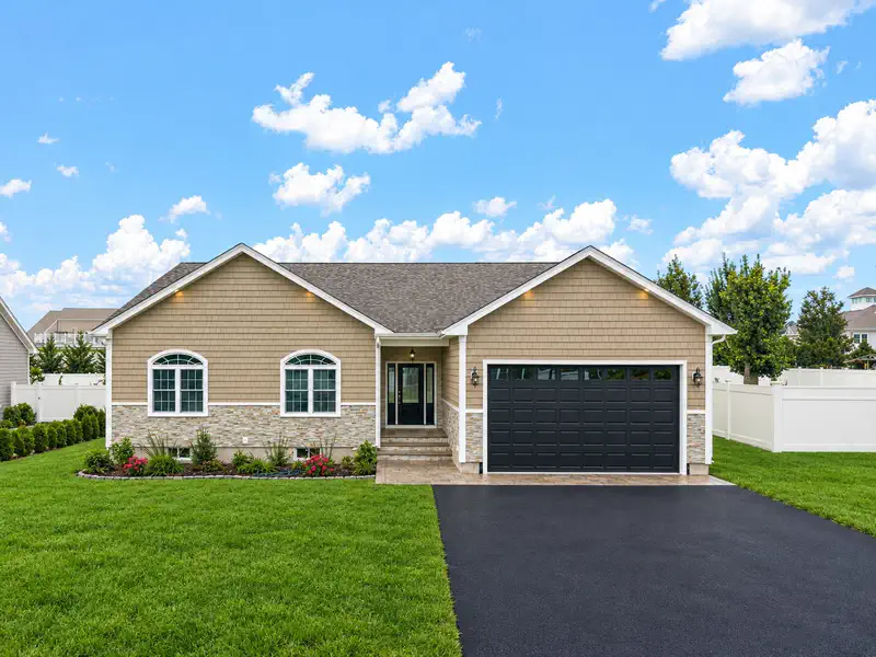
$824,800
3 bd · 2 ba · 2,704 sqft
111 Farland Cir, New Bedford, MA
Jordan Andrade · LPT Realty - Home & Key Group
 Price Reduced41
$539,000
4 bd · 2 ba · 1,664 sqft
968 Osgood St, New Bedford, MA
Team ROSO · RE/MAX Vantage
 35
$555,000
3 bd · 2 ba · 1,544 sqft
10 Rounseville St, New Bedford, MA
Athena Tetrault · RE/MAX Vantage
School ratings (A+ to F) from HJN community data.
Jireh Swift Elementary School
PK-5 · Regular · New Bedford School District
204 students · 10.6:1 student–teacher
Normandin Middle School
6-8 · Regular · New Bedford School District
990 students · 11.8:1 student–teacher
Charles S. Ashley Elementary School
PK-5 · Regular · New Bedford School District
272 students · 13.4:1 student–teacher
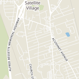
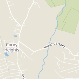
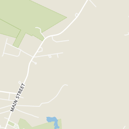
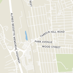
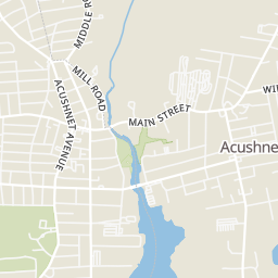
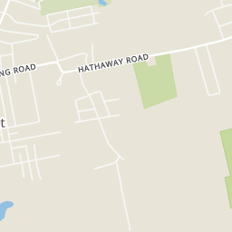
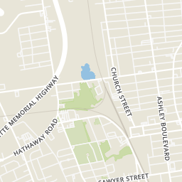
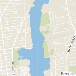
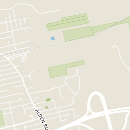
Within 2 miles of this home: 17 restaurants and cafés, 4 grocery stores, 21+ parks and green spaces, and 1 transit stop.
Place data from OpenStreetMap.
Dunkin
Acushnet Avenue
Holiday Bakery
Acushnet Avenue
Domino's
Ashley Boulevard
Honey Dew
Tarkiln Hill Road
McDonald's
Kings Highway
Burger King
Tarkiln Hill Road
Wendy's
Kings Highway
Elizabeth's
Mexican restaurant
Stop & Shop
Kings Highway
Market Basket
Sawyer Street
Save-A-Lot
Trucchi's Supermarket
Acushnet Avenue
Duck Pond
Brooklawn Park
Rivers End Park
Buttonwood Meadows
Acushnet Sawmill
Mill Road
Con Area Near River
Con Comm Land Near Acushnet River
Riverside Park
Church Street
Rings at ½ mile and 1 mile. Basemap © OpenMapTiles © OpenStreetMap contributors.
Open the New Bedford camera map2 license-plate readers mapped within 1 mile of this home, both identified as Flock Safety devices. None within ½ mile. Nearest: 0.8 mi northeast. Operator named in the data: Acushnet Police.
| Device type | Within ½ mi | Within 1 mi |
|---|---|---|
| License-plate readers | 0 | 2 |
| of which Flock Safety | 0 | 2 |
Community-reported via OpenStreetMap; may be incomplete. Data as of . © OpenStreetMap contributors (ODbL)
License-plate readers (ALPR) are fixed cameras that photograph passing vehicles and read their plates. Records are typically shared with the agency or association that operates the camera.
Flock Safety is a company whose plate-reader cameras are used by police departments, cities, HOAs and businesses. Its devices are usually solar-powered and pole-mounted.