New45

$499,900
4 bd · 3 ba · 3,351 sqft
2517 Country Club Drive, Springfield, IL
Debra Sarsany · The Real Estate Group, Inc.

262 days on Realty
10,500
Building
—
Lot
—
Built
Listing agent
Mary Hurwitz
Courtesy of Hurwitz Enterprises
mhurwitz@blackstonehurwitz.com
RMLS Alliance · Listing CA1041579
RMLS AllianceThis content last refreshed on 2026-10-23 06:56:02 UTC. Some properties which appear for sale on this web site may subsequently have sold or may no longer be available.
New45$499,900
4 bd · 3 ba · 3,351 sqft
2517 Country Club Drive, Springfield, IL
Debra Sarsany · The Real Estate Group, Inc.
 Price Reduced38
$169,900
3 bd · 2 ba · 1,515 sqft
1309 S Douglas Avenue H, Springfield, IL
Izedeen Qattum · The Real Estate Group, Inc.
 New32
$225,000
2 bd · 2 ba · 1,171 sqft
2009 Greenbriar Road, Springfield, IL
Kevin G Graham · Century 21 Real Estate Assoc
 Price Reduced90
$675,000
6 bd · 5 ba · 5,148 sqft
1904 Oak Creek Road, Springfield, IL
Neil J Martin · The Orchid Group Inc.
 New18
$134,000
4 bd · 2 ba · 1,450 sqft
2027 S College Street, Springfield, IL
Greg Zessin · Springfield Real Estate, LLC
 New42
$445,000
5 bd · 2 ba · 3,407 sqft
2312 Sylvan Road, Springfield, IL
Sarah Quattrin Coombe · Keller Williams Capital
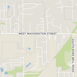
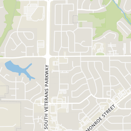
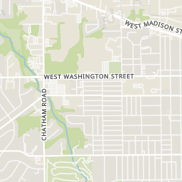
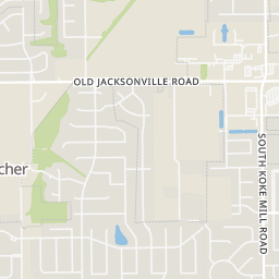
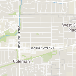
Within 2 miles of this home: 38+ restaurants and cafés, 6 grocery stores, 11 parks and green spaces, and 19+ transit stops.
Place data from OpenStreetMap.
Taco Gringo
Mexican restaurant · Clocktower Drive
Lime Street Cafe
American restaurant · South Durkin Drive
A&W
Clocktower Drive
Clock Tower Cafe
South Durkin Drive
Trading Post Saloon
South Durkin Drive
Ice Deli
Antonio's Pizza
West Lawrence Avenue
Subway
West Monroe Street
County Market
West Monroe Street
Pop In Seoul
Chatham Road
Schnucks
Chatham Road
Harvest Market
South Veterans Parkway
Robert's Seafood Market
West Jefferson Street
Gordon Food Service Store
Wabash Avenue
Schlitt Park
Avon Drive
Lewis Memorial Park
South Koke Mill Road
Washington Park Botanical Garden
West Fayette Avenue
Jefferson Park
North Oxford Road
Washington Park Rose Garden
Lindsay Place Park
Timberbrooke Park
West Washington Street
Washington Park
South Grand Avenue West
Clocktower & Durkin/Monroe
Clocktower & Monroe
Monroe & Center West
Old Jacksonville & Monroe
Monroe & Centre West
Durkin & Clocktower/Lawrence
Durkin & Lawrence/Clocktower
Monroe & Larchmont
Rings at ½ mile and 1 mile. Basemap © OpenMapTiles © OpenStreetMap contributors.
Open the Springfield camera map6 devices mapped within ½ mile of this home: 1 license-plate reader and 5 CCTV cameras; one of them identified as a Flock Safety device. Nearest: 0.1 mi southeast. Operator named in the data: Illinois Department of Transportation.
| Device type | Within ½ mi | Within 1 mi |
|---|---|---|
| License-plate readers | 1 | 4 |
| of which Flock Safety | 1 | 4 |
| CCTV cameras | 5 | 5 |
Community-reported via OpenStreetMap; may be incomplete. Data as of . © OpenStreetMap contributors (ODbL)
License-plate readers (ALPR) are fixed cameras that photograph passing vehicles and read their plates. Records are typically shared with the agency or association that operates the camera.
Flock Safety is a company whose plate-reader cameras are used by police departments, cities, HOAs and businesses. Its devices are usually solar-powered and pole-mounted.
CCTV cameras are fixed video cameras that record a street, building or other area.